Step-by-step instructions for downloading data, browsing the ArcGIS catalog, and using the REST API.
Data layers and visualizations on ClimRR are provided in a variety of formats. Users can download data as CSV files, geospatial data layers, or access data through our REST endpoint. This guide walks through each method. For additional details, refer to our Data Dictionary or email us.
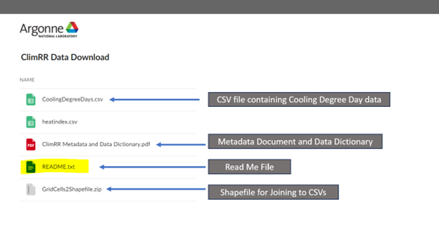
Our Box folder contains CSV data of available future projections. The CSV data is accompanied by its associated metadata and Data Dictionary.
To use the CSV files in a GIS, the files will need to be joined to a shapefile containing all of the 12km grid cells. Make sure to read the ReadMe.txt document included in the folder for full instructions.
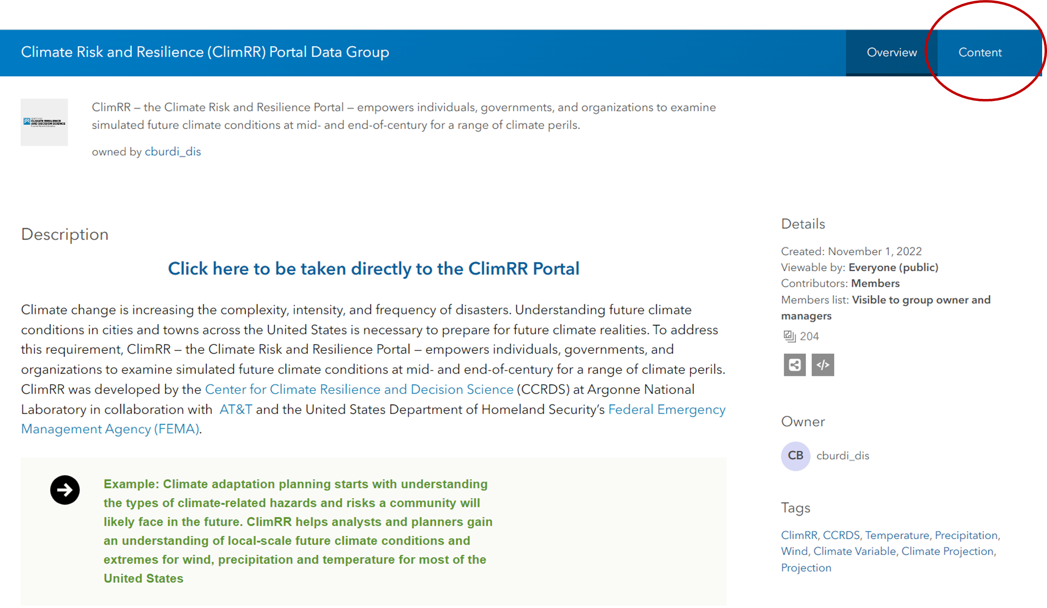
All ClimRR data is collected in an ArcGIS Enterprise group available on our Geoportal. The steps below show how to navigate and filter the catalog.
Clicking the Data Catalog link will bring you to the group page on the Geoportal. Click Content to see a listing of all group content.
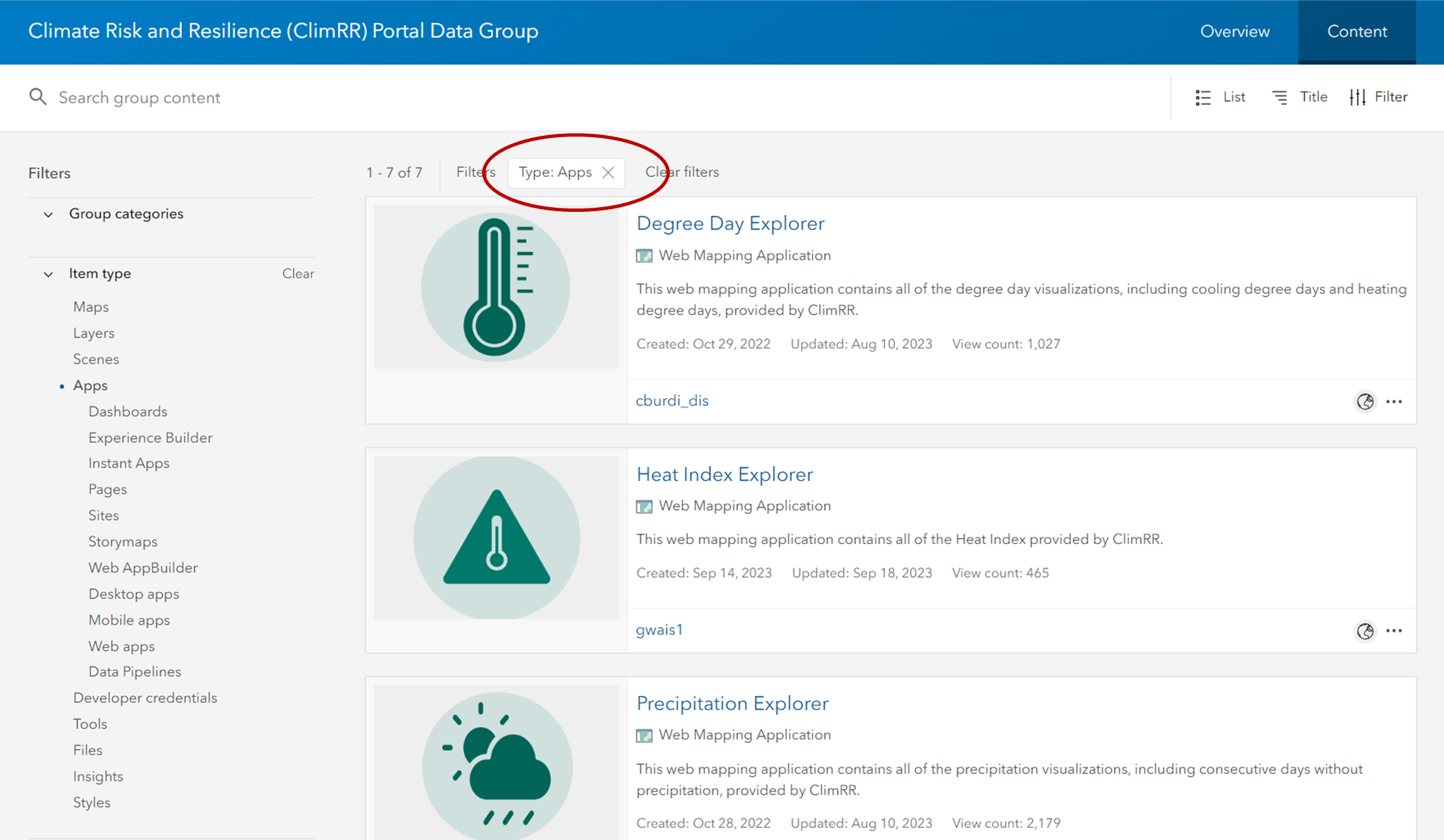
The content list is pre-filtered to show current applications. Remove the filter by clicking the X next to apps to reveal all available data layers.
You can sort and browse the catalog in several useful ways:
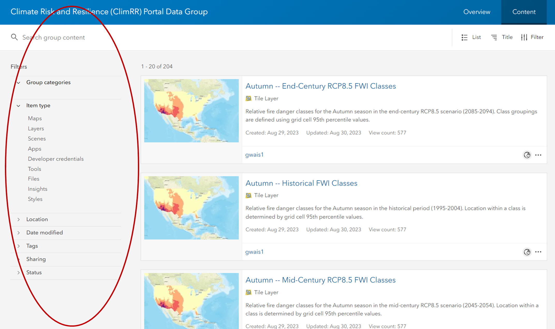
About Item Types
Data layers in ClimRR are available as two formats, each with different use cases:
Tile Layers
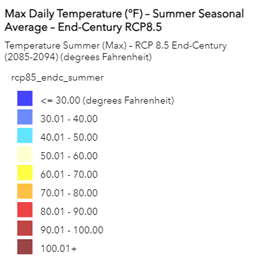
Preserve the symbology chosen by the ClimRR team, including bin values for each future projection variable. The legend and color representation are maintained when a tile layer is brought into your GIS or web map.
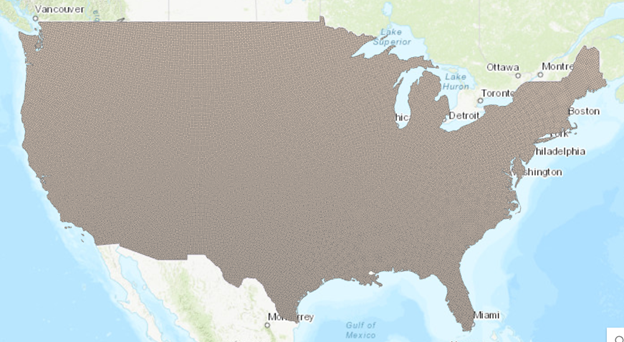
Map Image Layers
Brought into your GIS or web map as a simple vector file. Useful for custom styling. Learn more →
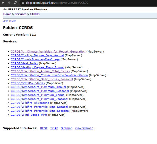
ClimRR data is available on our ArcGIS Server Directory as a RESTful endpoint. Clicking the REST Services link takes you to our endpoint where you can browse all publicly available GIS server contents. Learn more about the ArcGIS Services Directory →